
The mouth of the short but atmospheric Ningqing (‘peaceful’) Gorge near Shuili in Nantou County

Getting upstream to the gorge involves getting past 5 or 6 small dams – luckily it’s also possible to climb ROUND them (much easier)!
On the edge of Shuili (水里) town in Nantou County, immediately below the busy road that connects the town with Sun Moon Lake to the north, Ningqing Gorge (寧靜谷) appears on quite a few local maps of the area, but I’ve never found any info on the Web or elsewhere, apart from a short description in a decades-old local guidebook to central Taiwan that I bought when I first arrived here, and have treasured ever since. That dog-eared, black-and-white book with its fuzzy pictures and rough, hand-drawn sketch maps lacks the full-color impact of today’s much more stylish guidebooks to Taiwan, but, while the maps nowadays are infinitely better and the info inside the best books (usually those that confine themselves to just one county or small area) is still amazing, they’re still not nearly as detailed as those old books on my shelves, which continue to provide me with the occasional wonderful new discovery after all this years.
Ningqing Gorge is very short and not especially deep, and it’s certainly no Ghost Ax Canyon, but in its small way it’s a fascinating place, and makes for a great, if brief adventure if you’re already in the Shuili area and the idea of scrambling, swimming and wading for an hour or two through a place few people know exists strikes a chord.
To get there drive east along the main road (route 16) through Shuili towards Shuili Snake Kiln and the Sun Moon Lake turnoff, and shortly after the big junction with Minsheng Road (the main street of Shuili), turn left through a simple temple gate up a narrow road beside a row of houses. After the terraced residences, the road strikes left, rises to the top of a concrete retaining wall and strikes across the flood plain of the little Bamakang Stream, which down here is often completely dry during winter and spring.
Pass a small Land God shrine and the lane peters out near a farmer’s residence. Park the scooter or car and start heading upstream (the wide, stony bed of the stream is on the right). After a cultivated area the valley narrows; follow the stream gorge upwards (there’s no path but the going is easy) and climb over or around a series five or six small concrete dams of varying sizes. Only the fourth (or is it the fifth?) presents a any difficulty – a ladder up on the right is one way round it, or a squeeze through a bamboo clump on the face of the gorge to the left of the dam is also a way through.

Fairyland Waterfall in the dry season
About twenty minutes from the farmhouse, the gorge narrows, the stream finally has water, even in winter, and it pours over a small rock face in a tiny but pretty little cascade called Fairyland Falls (仙鄉瀑布). A rope up the steep, crumbly slope to the left of the little fall makes quick work of getting past this little obstacle. At the top simply follow the stream up. At low water it’s usually possible to walk all the way to the mouth of Ningqing Gorge without getting wet feet, but after the plum rains have passed, the stream becomes much fuller, and you’ll probably need river tracing gear from here onwards.

The stream above Fairyland Waterfall

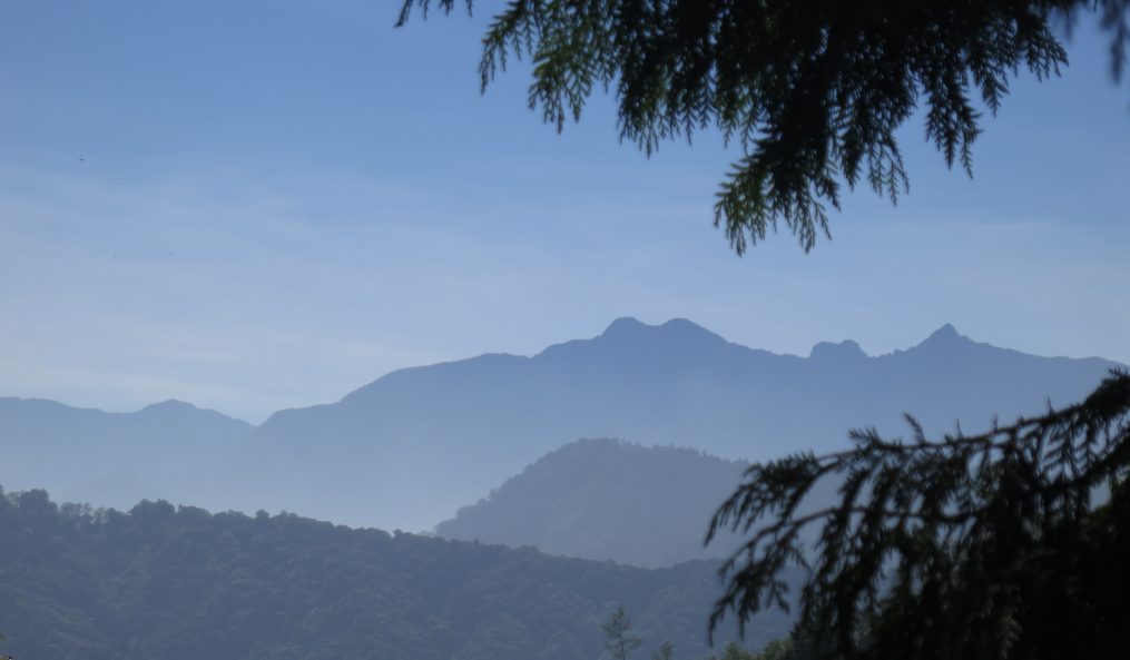
En route to Ningqing Gorge
The gorge, which my trusty old guidebook says was once an enchanting…err… fairyland, is now a bit of a mess, thanks to the ravages of several big typhoons with names such as Morakot and Trami over the last few years. Apart from the occasional felled tree however the going is easy, and in around 20 minutes, the mouth of Ninqing Gorge looms ahead as the sides of the gorge close in like pincers, forcing the stream into a very narrow, deep channel between the vertical cliffs. The gorge sides are only about 15 or 20 meters in height, but it’s an impressive place. Within a few meters the water level, even in the dry season, is over the waist, and it’s necessary to swim the few meters to the other side of the little pool beneath the cliffs, where the gorge suddenly curves sharply to the left and the stream drops over a small cascade (easily scrambled up) into the next part of the gorge.

In the gorge

Ningqing Gorge

The upstream mouth of Ningqing Gorge
Round the corner, the narrow cleft continues about as long again, then, after another little step, the stream emerges from the constriction back into a normal stream valley. The scenery up here is far less devastated than below the gorge, and it’s an attractive trace upstream for a bit, but the best part of this stream appears to be already over. We continued upstream for another 20 minutes to a narrow bridge across the stream – a very unexpected sight in this secluded spot, before turning back.

Upstream from Ningqing Gorge

.
All in all the trip took about 2 hours, and although river tracing gear, swimming gear and the ability to be able to swim are all essential, it’s an easy and relaxing place to trace, at least during the dry season. Going in summer would probably be a lot more exciting, but I’d certainly not go when the stream is running very high – getting through the extremely narrow gorge, and especially up the two little steps inside, would probably be dangerous or impossible after heavy rain.
GPS coordinates:
Now I’m finally the proud owner of my own Garmin GPS gizmo, I can post GPS coordinates of places (or at least those not featured in my new book…!):
Ningqing Gorge turnoff (route 16): N23 48 27.78 E120 51 36.91
Ningqing Gorge trailhead: N23 48 29.07 E120 51 50.87
Ningqing Gorge mouth: N23 48 33.21 E120 52 17.05

.
